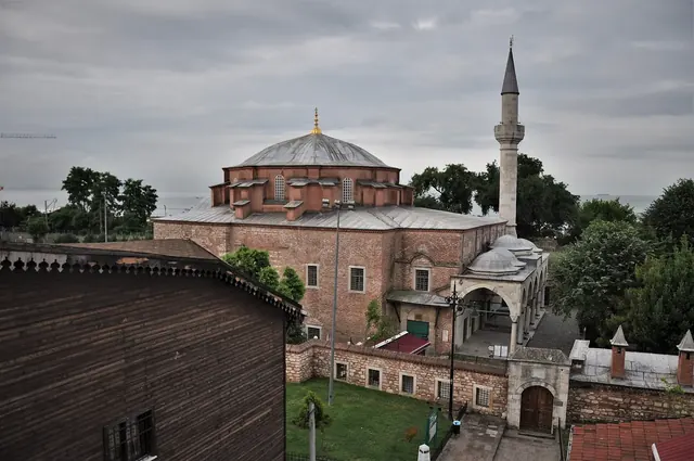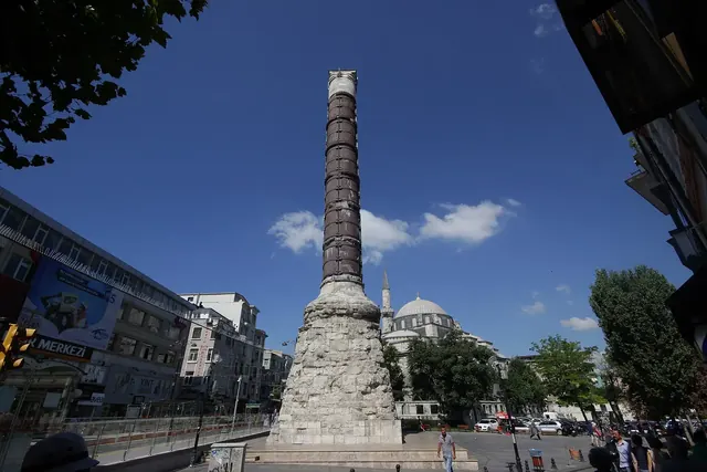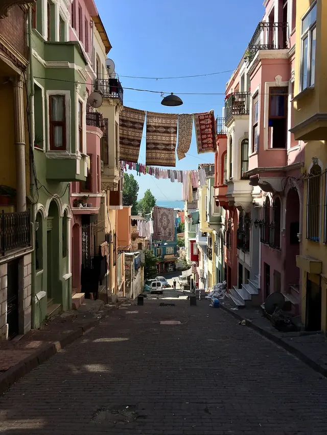
Kadırga is a neighbourhood and square just west of Küçük Ayasofya, built over what was once one of Byzantine Constantinople's key harbours — the Harbour of Julian, later renamed the Harbour of Sophia. Under the Ottomans the basin sheltered galleys (kadırga in Turkish), before silting up and turning into the square and park you see today. It is not a classic sight, but if you want to read Istanbul's layered history in the middle of everyday life, it is one of the most genuine corners of the Old City.
On this page5
From Julian to Sophia: a vanished Byzantine harbour
Constantinople's Marmara shore was lined with artificial harbours for ships that wanted to dock on the city's southern side rather than round the point into the Golden Horn. According to historical sources, one of them was built in the 4th century under Emperor Julian and named after him. In the later 6th century Justin II had it dredged and enlarged and renamed it after his wife, Empress Sophia, which is why Byzantine texts use both names.
For centuries the harbour served ships carrying grain, timber and stone into the city. But the sand and silt brought by the Marmara currents meant constant dredging, and as maintenance faltered in the late Byzantine period the basin slowly shrank.
Harbour of the galleys: Kadırga under the Ottomans
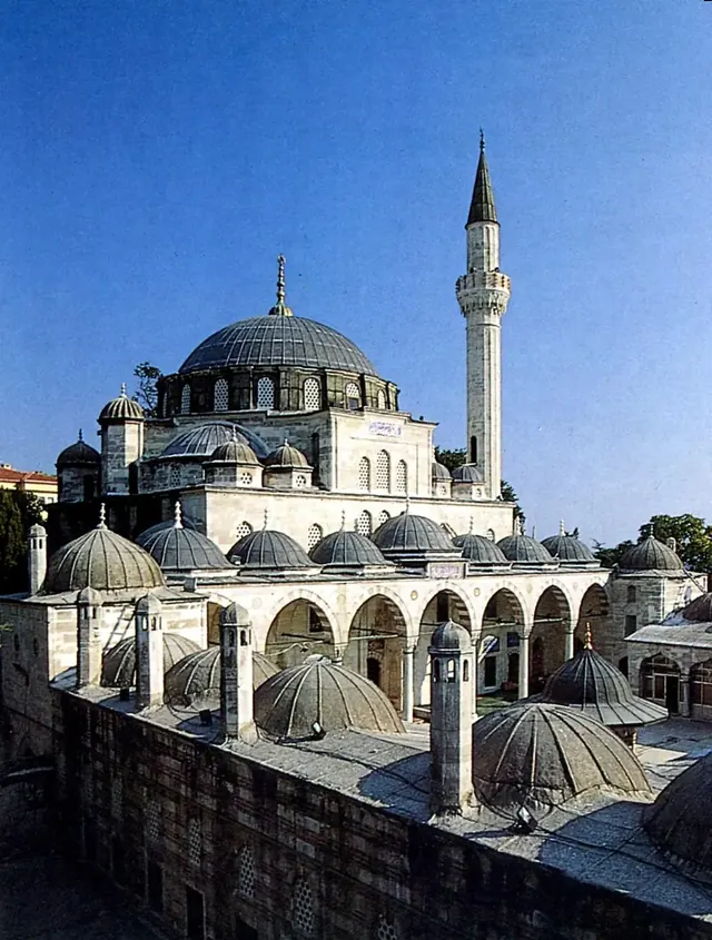
After 1453 the Ottomans used the old basin for a time for galleys, the oared warships that gave the district its name. When the navy's main base moved to the Imperial Arsenal on the Golden Horn, the harbour lost its purpose, was left to silt up and gradually disappeared beneath mansions, houses and gardens. The Sokollu Mehmed Pasha Mosque, built on the slope by Mimar Sinan in 1571–1572, shows how prestigious the neighbourhood had become.
Street names still remember the water: one of the roads leading into the square is still called Kadırga Limanı (Kadırga Harbour). Look at how flat and open the square is compared with the steep lanes around it, and it is easy to imagine that boats once floated here.
Kadırga today: real neighbourhood life
Today the square is a tree-shaded park ringed by modest apartment blocks, small shops, bakeries and tea stalls. In the late afternoon children race around the playground, retirees chat on benches and students share sesame bread rings on their way home from school. After the postcard views of Sultanahmet, sitting here for a few minutes gives you the city's real rhythm.
Walk west and you reach the historic churches and lanes of Kumkapı; head south and, past the railway and the walls, you come to the Marmara shore. Kadırga works as a natural hinge between neighbourhoods.
What to notice as you walk
- The walls of Sokollu's madrasa: look up the slope from the square and Sinan's stonework stands out immediately.
- Traces of the harbour: the level ground and the street names help you picture roughly where the Byzantine basin lay.
- Neighbourhood fountains: keep an eye out for small Ottoman street fountains with inscriptions in the surrounding lanes.
- Towards the sea walls: heading downhill to the south you catch glimpses of the Marmara sea walls.
Getting there from Sareban Hotel
Kadırga is our next-door neighbourhood, an easy, mostly level walk of a few minutes west of the hotel. For the bigger picture, read our Küçük Ayasofya and Kadırga neighbourhood guide, or follow our Old City walking route starting at the hotel. Families can use the park as a playground stop — see more ideas on our family page.
Frequently asked questions
Does the Kadırga harbour still exist?
No. The Byzantine Harbour of Julian (Sophia) gradually silted up and was replaced by today's square, park and houses. It survives only in the names of the district and its streets.
Where does the name Kadırga come from?
In Ottoman times the old harbour was used as a base for galleys, oared warships known in Turkish as kadırga, and the district took its name from them.
Is Kadırga safe for visitors?
It is a quiet residential neighbourhood. Normal city awareness is all you need, and it is comfortable for daytime and early-evening walks.
How much time should I spend in Kadırga?
Half an hour to an hour is enough to stroll around the square and climb up to the Sokollu Mosque.